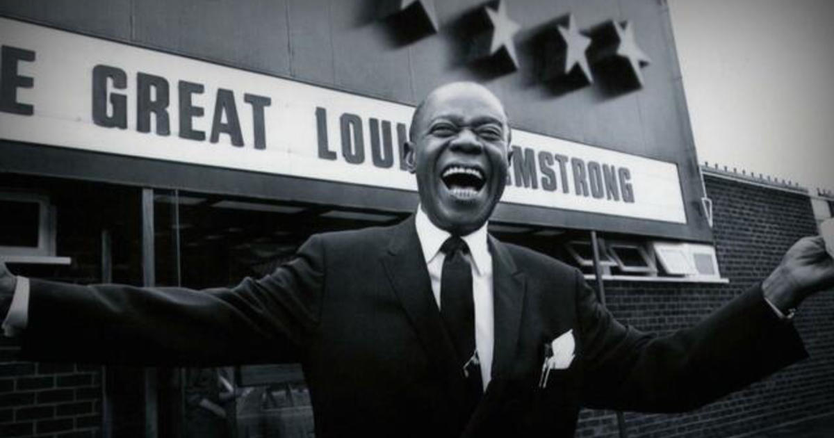
New Louis Armstrong live album, recorded in 1968, released
New Louis Armstrong live album, recorded in 1968, released – CBS News Watch CBS News A live album recorded by Louis Armstrong three years before his death in 1971 has been released. It’s another moment in the spotlight for the beloved musician. Michelle Miller has more. View CBS News In Be the first to know
Read More


